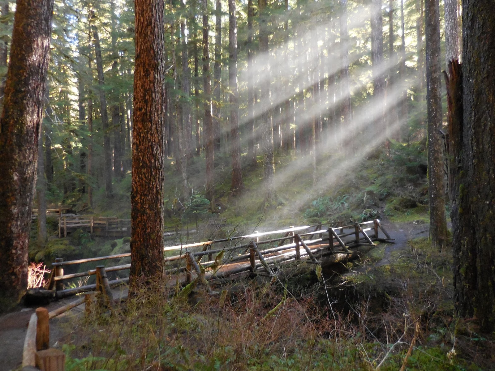
Millersylvania Trail Map
Washington State Parks publishes three free maps of Millersylvania State Park as PDFs: a park and trail map, a campground map, and a map of the metal detecting area. The park map shows the seven named trails, Deep Lake, Spruce Creek, the kitchen shelters, the swimming and fishing areas and the retreat center. The park has 8.6 miles of hiking trails and 7.6 miles of bike trails.
Maps at a Glance
The Park and Trail Map
Download the park map (PDF). Revised February 19, 2020, with a scale bar to 1,500 feet.
What it shows:
- Roads in: the park entrance on Tilley Road, the way to Olympia, and the way to I-5 Exit 95 and Maytown Road SW.
- Water: Deep Lake and Spruce Creek.
- Day use: swimming and fishing areas, the small craft launch, kitchen shelters, restrooms and the amphitheater.
- Camping: the two campsite areas (sites 1 to 132 and 201 to 248), RV camping, the group camp and the trailer dump.
- Buildings: the ranger station, park headquarters and the retreat center.
- Trails: hiking trails, and a hiking trail with boardwalk.
The Named Trails
The map names seven trails. It gives no mileage for each one.
- Perimeter Trail
- Orchard Trail
- Bentley Trail
- Old Growth Lane
- The Loop
- Maple Hollow Loop
- Fen Way Boardwalk
For what the walking is like, see hiking and biking. The trail near campsite 31 is closed indefinitely while its boardwalk is out of repair.
The Campground Map
Download the campground map (PDF). Revised April 24, 2025. It shows each numbered site, overflow parking and the emergency-use sites. Use it to pick a site before you book. See camping.
The Metal Detecting Map
Download the metal detecting map (PDF). Revised January 4, 2017. Metal detecting is one of the park's listed activities, but only inside the marked area, which the map labels at 2.23 acres. See rules.
On Your Phone
Washington State Parks also publishes an online "Millersylvania State Park Mobile Map" on ArcGIS. Download the PDFs before you go in case your signal is weak in the trees.
Paper Maps and Questions
Ask at the ranger station, or call the park at (360) 753-1519. The State Parks Information Center, (360) 902-8844, answers questions on weekdays from 8 a.m. to 5 p.m.
Millersylvania Trail Map FAQ
Is there a trail map for Millersylvania State Park?
Yes. Washington State Parks publishes a free park and trail map as a PDF on the park's page. It names seven trails and shows the lake, campground, shelters and retreat center.
How long are the trails at Millersylvania?
The park has 8.6 miles of hiking trails and 7.6 miles of bike trails. The official map doesn't list a mileage for each trail.
Where can you metal detect at Millersylvania?
Only in the designated metal detecting area shown on the park's metal detecting map, about 2.23 acres.